Tips from Grand County’s Emergency Management Director, Cora Phillips
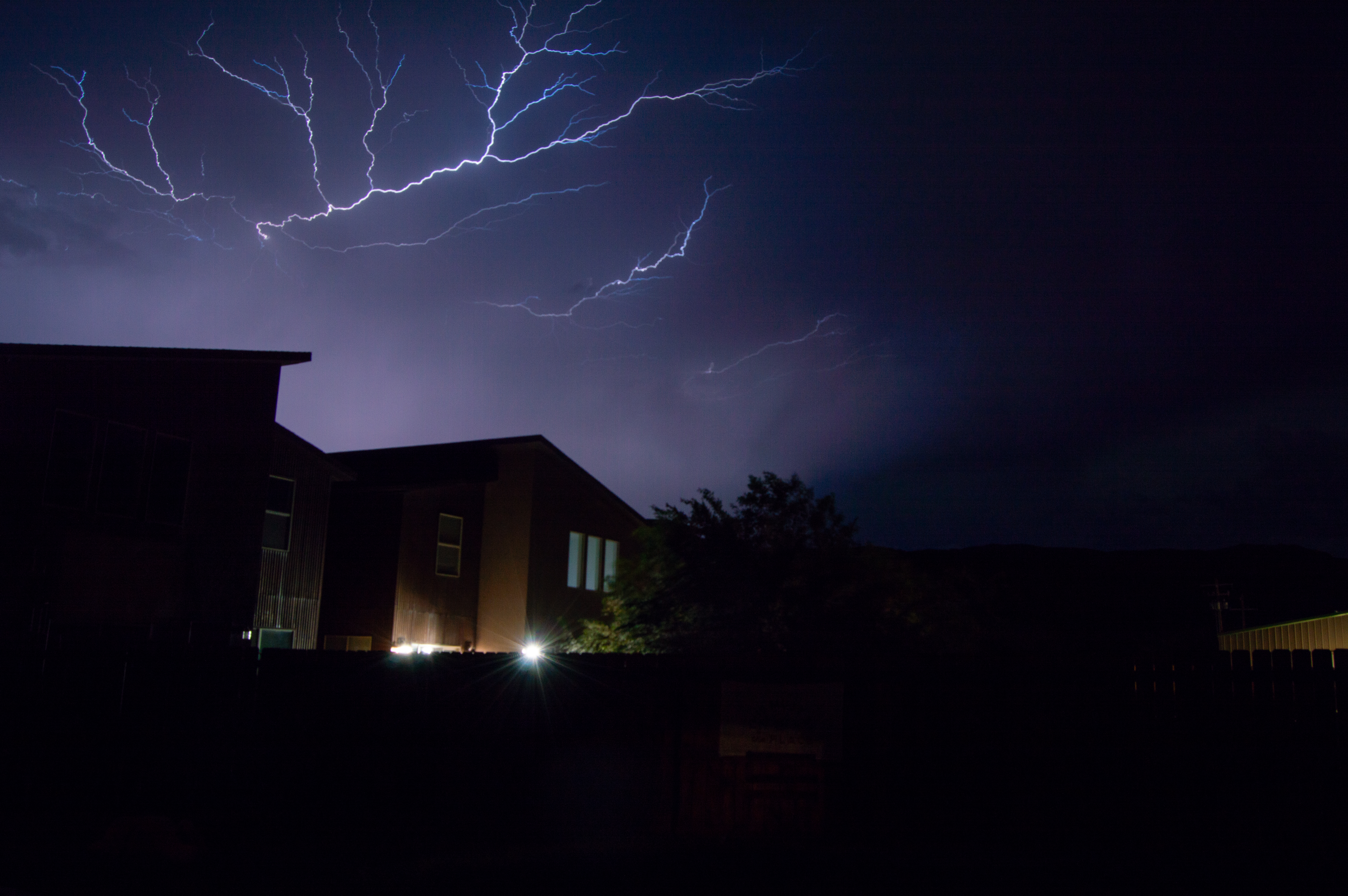
The rain this week provided a cool respite from summer heat, but also reminded Moabites that monsoon season is approaching. Typically, late summer monsoons bring an abundance of precipitation—but in the past two years, they’ve also brought destructive flooding.
Cora Phillips, Grand County’s emergency management director, said the county is preparing for monsoon season in a few different ways. First, the county hired her just after last year’s monsoon season—she started in November 2022.
Projects funded by State Bill 003, which provided funding for flood mitigation during the spring runoff season, will roll over into monsoon season: the county created flood warning signs that say phrases such as, “Turn Around. Don’t Drown!” and will continue offering free sandbag-filling stations around town. The Grand County Road Department was also able to purchase a Ring-O-Matic vac trailer, a culvert cleaning device.
The county’s alert system has also been updated. During last year’s flash flood on Aug. 20, no push alert emergency warnings were issued by the county—at a Moab City Council meeting in the following days, Mayor Joette Langianese said she felt like there was “nobody leading the show.”


Now, there’s a set-in-stone process. Phillips created a flood leadership group and public information officer group so that efforts and messaging are coordinated; she also organized training for local leaders and first responders. She designed a baseline for pushing out geofenced emergency alerts, meaning alerts that can be sent out to all cell phones in the affected area, not just phones of people signed up for the county’s official alert system.
An alert is sent to everyone in the area if all the answers to the following questions are ‘yes’: Is this a sudden, unforeseen, or unpredictable situation? Does the situation pose an imminent threat to life or property? Does the situation have the potential to adversely affect a significant population or geographic area? Does the situation require that the public be told immediately to seek shelter or take other protective action? Are other means of disseminating information inadequate to ensure rapid delivery of the information?
“It’ll alert individuals if immediate protective action is necessary,” Phillips said.
The county is also developing its Hazard Mitigation Plan, and is asking residents to complete a short survey about disaster preparedness and mitigation—the survey can be found at http://prepare.community/grand.
What you can do to prepare for monsoon season
Utilize sandbags
There are four sandbag filling locations open 24 hours per day, seven days per week: at the fire stations (3251 Westwater Road and 4012 Beeman Road), Center Street ballparks (200 E. 50 S.), and the former Red Rock Elementary property across from Rotary Park (685 S. Millcreek Drive). The bags themselves are offered for free from the Moab City Public Works Yard (470 Kane Creek Blvd.) and Grand County Roads Department (3500 S. Hwy 191), open Monday to Thursday from 8 a.m. to 4 p.m.
Sign up for alerts
Phillips asked residents to sign up for the county’s emergency alerts by downloading the myAlerts app at www.GrandCountyAlerts.org. She also created a Facebook page, Grand County Utah Emergency Management (www.facebook.com/GCSOEM), where she regularly posts information on flood, lightning, and weather safety; resources can also be found on the office of emergency management’s website at www.GrandCountyUtah.net/174/Emergency-Management.
Stay informed
Other resources for flood preparation that Phillips utilizes are at www.ready.gov/floods and http://beready.utah.gov/utah-hazards/flood/, both of which outline how to prepare for flooding and what to do if you find yourself in a flood situation.
Phillips encouraged residents to stay on top of the weather, too: always check the weather before recreating, especially when recreating in canyons, which present flash flood risks. The U.S. Geologic Survey maintains a useful water data dashboard (accessible at http://dashboard.waterdata.usgs.gov), which displays information on the discharge levels of the Mill and Pack creeks, both of which present flood risk to Moab. You can also sign up for water alerts through the USGS at http://accounts.waterdata.usgs.gov/wateralert/my-alerts/.


