Some information may be outdated.
The Colorado Plateau has a wide variety of weather and climate events that make this area an attractive place for scientists studying meteorology and climate. In this week’s column, Science Moab highlights key takeaways from recent conversations discussing the various weather patterns in this region. We speak with avalanche forecaster Eric Trenbeath, meteorologist Tony Merriman, meteorologist Megan Stackhouse, and hydrologist Brian McInerney.
Science Moab: How does the snowpack differ here in the La Sal and Abajo Mountains, considering it’s kind of a snow island in the desert?
Eric Trenbeath: One of the big factors is the wind. Being an isolated mountain range out here in the desert, we can really get wind-blasted. And that’s why people look up from town and they see all the rocks showing on the south- and west-facing slopes, so they think there isn’t any snow up there. But on the north side, there’s 5 to 8 feet of snow, so the winds really affect the snowpack here. It’s also kind of hit or miss whether a storm will hit us or not. If it’s just off track just a little bit we can get completely missed. We definitely have a little bit more of just a wildcard factor by being out here in the middle of the desert.
Science Moab: An avalanche is basically a big mass of snow, sliding down a hillside. So why would a mass start that slide?
Trenbeath: What you need for a slide is a cohesive slab that’s a separate unit from the weaker layer that’s underneath. So in October, we’re getting these weak layers forming, let’s say at the ground layer. And then it starts to snow again, and the new snow that sits on top forms its own cohesive layer that separates from that weak layer underneath. Depending on gravity and the shape of the terrain, there’s some tension on this overriding slab and it’s hanging in a state of suspension waiting for a trigger, which can come through the addition of more snow creating a heavier load or a person or a snowmobile or something walking on to that slab and causing it to break and fail on the weak layer underneath.
—
Science Moab: Why do we see so many clouds around here when this area has such low moisture and rainfall?
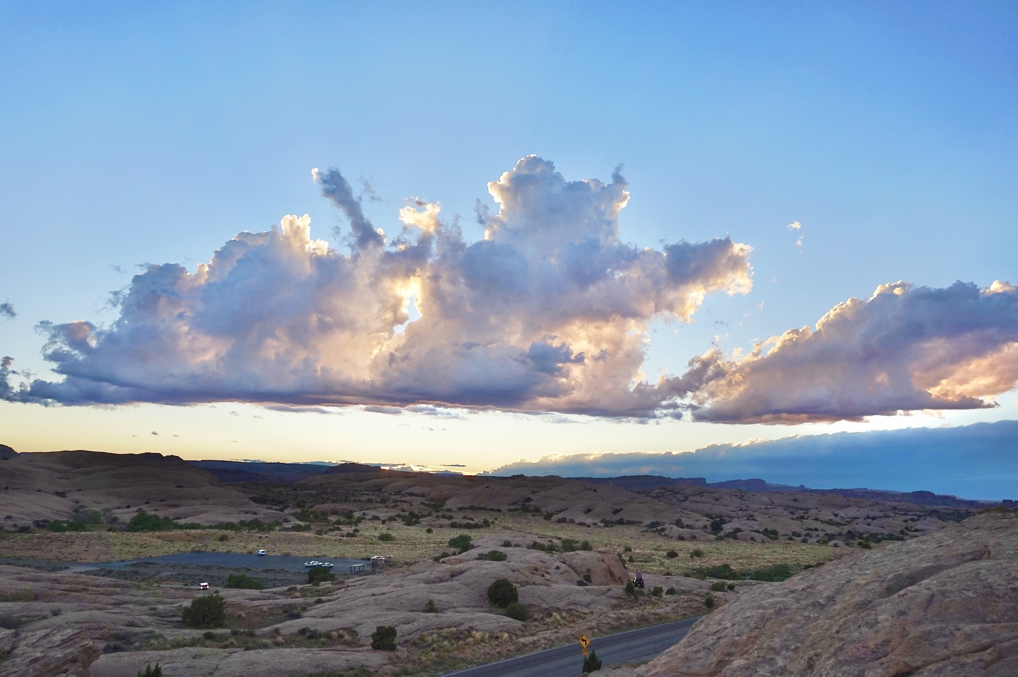
Tony Merriman: There are several main ingredients needed for clouds and thunderstorms to develop. First, we need moisture. With clouds, we’re talking about moisture in the atmosphere. So it might be dry at the surface, but if we go up in the atmosphere a few thousand feet, it might have a higher dew point. Then, we need another mechanism called lift; in the southwest, we have an orographic lift, when air is forced up into the atmosphere due to the terrain. So if the air has enough moisture, and it gets forced up into the atmosphere by a mountain range or some kind of terrain feature, it can condense into clouds. So there’s enough moisture in the mid-levels of the atmosphere to create these clouds right now, but you’re not getting much, if any, precipitation out of it.
—
Science Moab: What causes our monsoon season?
Megan Stackhouse: The monsoon is a wind shift that happens in the summer months, generally mid-June through the end of September, which taps into subtropical moisture coming in from the Pacific and the Gulf of Mexico.
Science Moab: How variable is the rainfall around here?
Stackhouse: The main forecast concern across eastern Utah and western Colorado during the monsoon season is the unpredictability and variability of rainfall. Depending on where showers and storms develop, one part of town might get a ton of moisture, and the other part might get just a couple of drops.
—
Science Moab: What determines flash-flood potential within southeastern Utah?
Brian McInerney: Utah has very little moisture, steep slopes, and incised canyons, which all combine with the atmospheric conditions to create a high flash-flood threat. It’s one of the most flash-flood-prone areas in the country. In this landscape, one question is how a thunderstorm moves as it forms. If it’s moving up-canyon, the water has time to drain out of the canyon; think of a watering can and a little hillside as you move up. Now take that same watering can, and start at the top and move it down. Your flow is concentrated faster.
Thunderstorms moving down-canyon are the most dangerous. If we have a thunderstorm that’s moving laterally across canyons, you’ll get a finite amount of water in each canyon. If they’re stationary, and you have enough rain, that’s just as bad as a downslope-moving storm. They’re very dangerous. So what matters is the direction of the rain event and the duration of the storm itself.
Science Moab is a nonprofit dedicated to engaging community members and visitors with the science happening in Southeast Utah and the Colorado Plateau. To learn more and listen to the podcast, visit www.sciencemoab.org. This interview has been edited for length and clarity.
Appreciate the coverage? Help keep local news alive.
Chip in to support the Moab Sun News.


