Some information may be outdated.
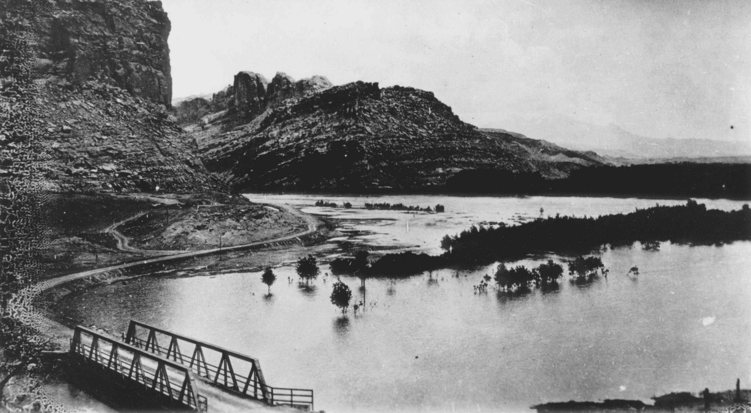
After historic flooding along Mill Creek in August, many Moabites gained a renewed awareness of the erratic power of water in the desert. Though the climate is arid, flash floods are a force to be reckoned with—and something that people living here have been navigating for thousands of years. Since cameras first made it to the Moab Valley, numerous photographs have captured and preserved the history of floods of Moab’s past.
From downtown Moab to the natural landscape, floodwaters have long shaped the landscape and the human experience in Utah. Images from the Moab Museum’s collection tell these stories today. Have a look!


The Moab Museum is dedicated to sharing stories of the natural and human history of the Moab area. To explore more of Moab’s stories and artifacts, find out about upcoming programs, and become a member, visit www.moabmuseum.org.
Appreciate the coverage? Help keep local news alive.
Chip in to support the Moab Sun News.