Some information may be outdated.
The allure of swift whitewater, soaring canyon cliffs, and unparalleled solitude have long beckoned adventure seekers to boat the mighty Colorado and Green Rivers near Moab. Today, river runners have the benefit of detailed river maps and up-to-date river condition data that can be found online. Thanks to the United States Geologic Survey gaging stations located along numerous rivers throughout the country, river discharge and other metrics can be monitored online, making life more predictable for professional guides and recreational boaters. Rubber boats that bounce forgivingly off of rocks, neoprene booties, sunscreen, and myriad other innovations have also shaped the experience of river-running considerably over the past several decades.
One hundred years ago, in the late summer and early autumn of 1921, the USGS undertook several surveying trips down the Green and Colorado rivers that provided the government with some foundational surveying data. One trip, led by W. R. Chenoweth, surveyed the Colorado River between the Dirty Devil River and Hall’s Creek. Then, Chenoweth’s expedition returned to Green River, Utah, and rowed downstream to the confluence with the Colorado River, taking advantage of the late-summer conditions to survey Cataract Canyon during a period of low water. Geologists on the team took detailed notes and measurements, and a plan and profile of the river were created from the 1921 trips that summarized their findings from the remote river sections they had traveled.
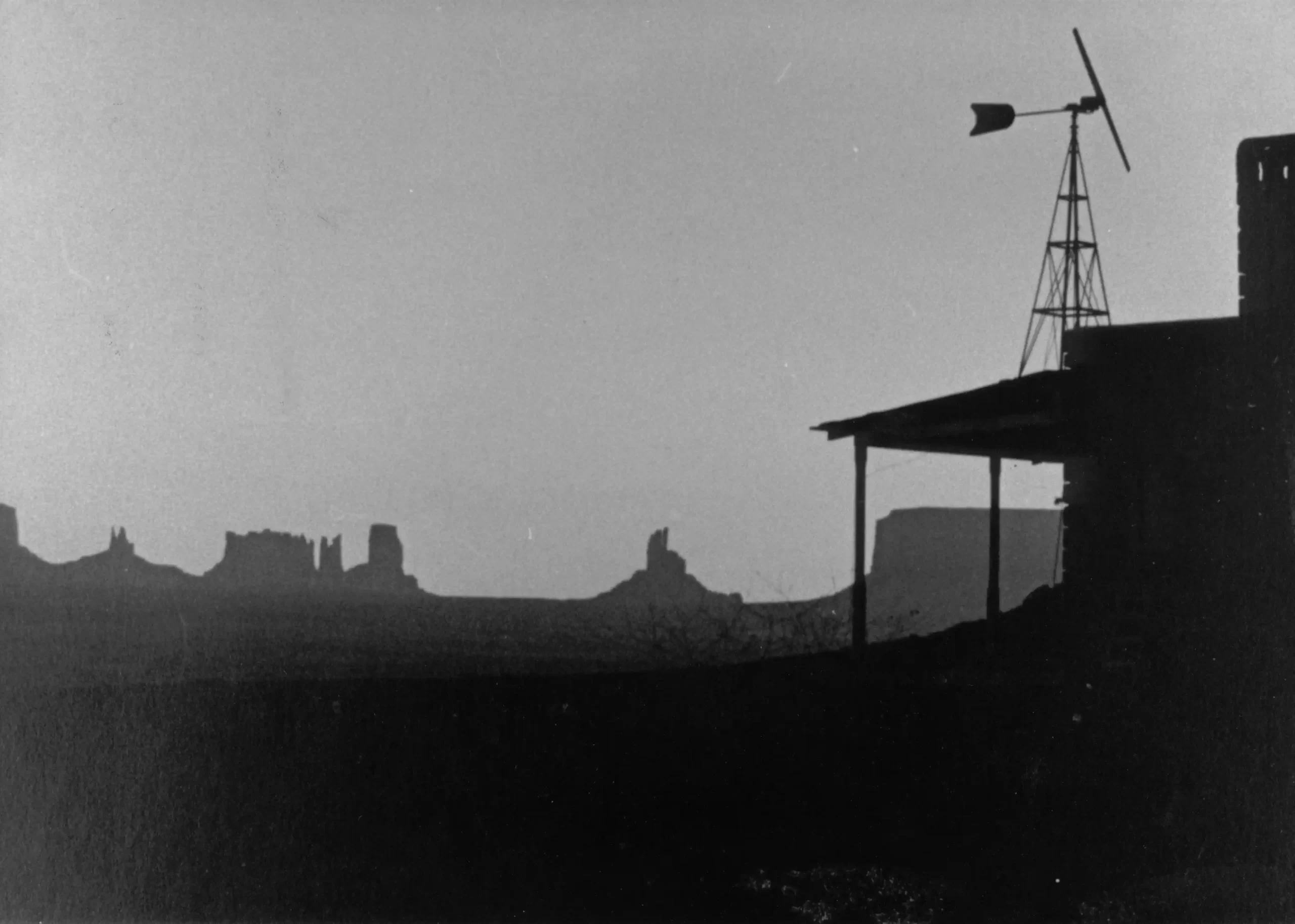
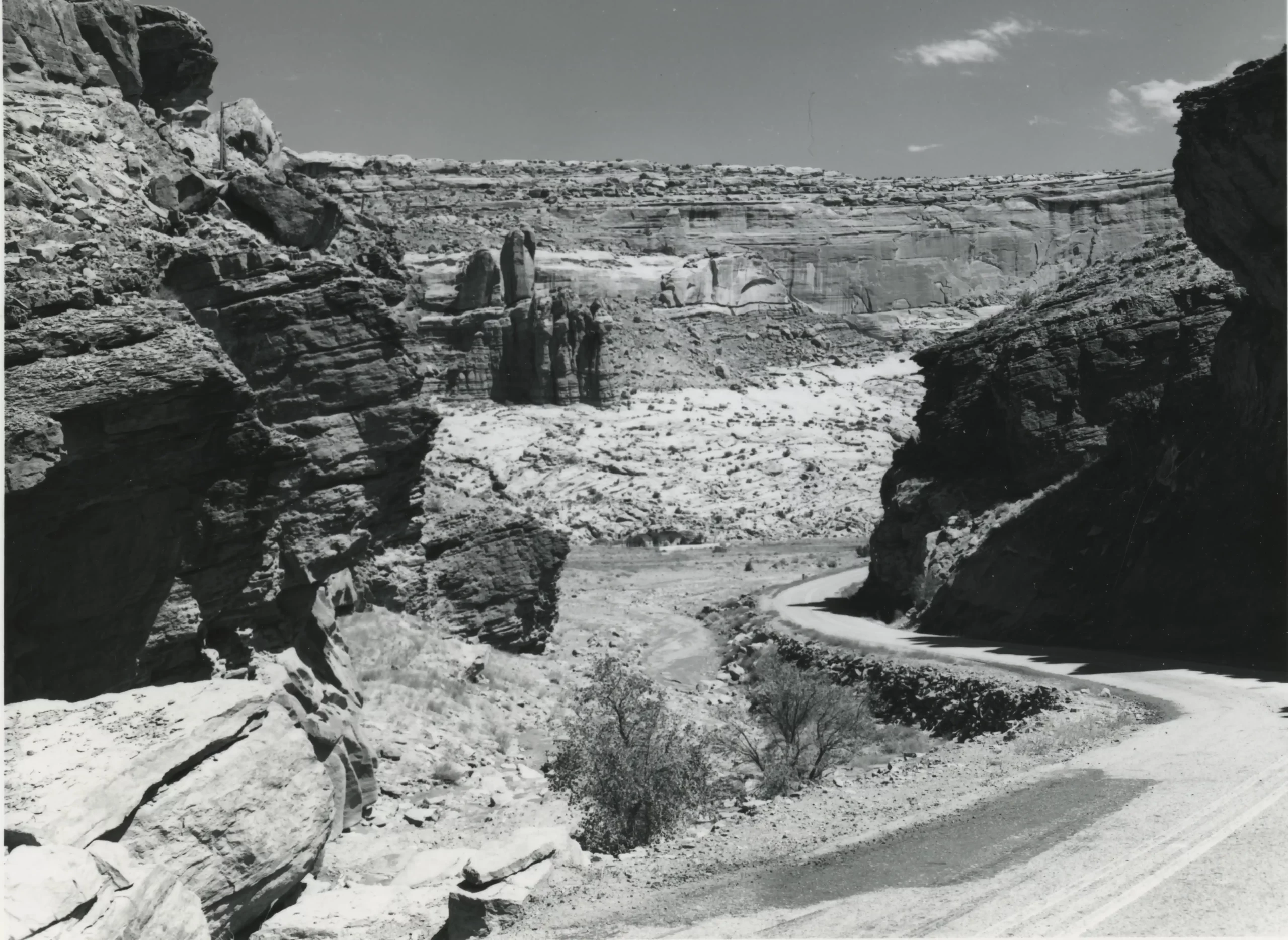
Photographs provide an exciting glimpse into this expedition. Though much has changed in the century since the 1921 USGS expeditions, the photographs taken on the trip capture the same grandeur and scenery that have drawn visitors over the past century since.
The Moab Museum is dedicated to sharing stories of the natural and human history of the Moab area. To explore more of Moab’s stories and artifacts, find out about upcoming programs, and become a Member, visit www.moabmuseum.org.
Appreciate the coverage? Help keep local news alive.
Chip in to support the Moab Sun News.


