Summer monsoon weather arrived last week. And according to the National Weather Service (NWS), it will continue into this week.
Between Wednesday, July 17 and Friday, July 19 a little less than a half-inch of rain fell in Moab itself, according to the NWS.
John Kyle of the NWS said that most of the rainfall was in the La Sal Mountains.
On July 16 one and a half inches fell in a 24-hour period. The following day, five miles east of Moab an additional one and a quarter inches of rain fell, resulting in the debris flows of mud and rock on State Route 128.
“Rainfall amounts were generally heavier at the Colorado border and into Colorado, under this monsoonal weather pattern,” Kyle said.
An uptick in afternoon and evening thunderstorm activity is expected from Wednesday, July 24 into the weekend, stated the NWS website.
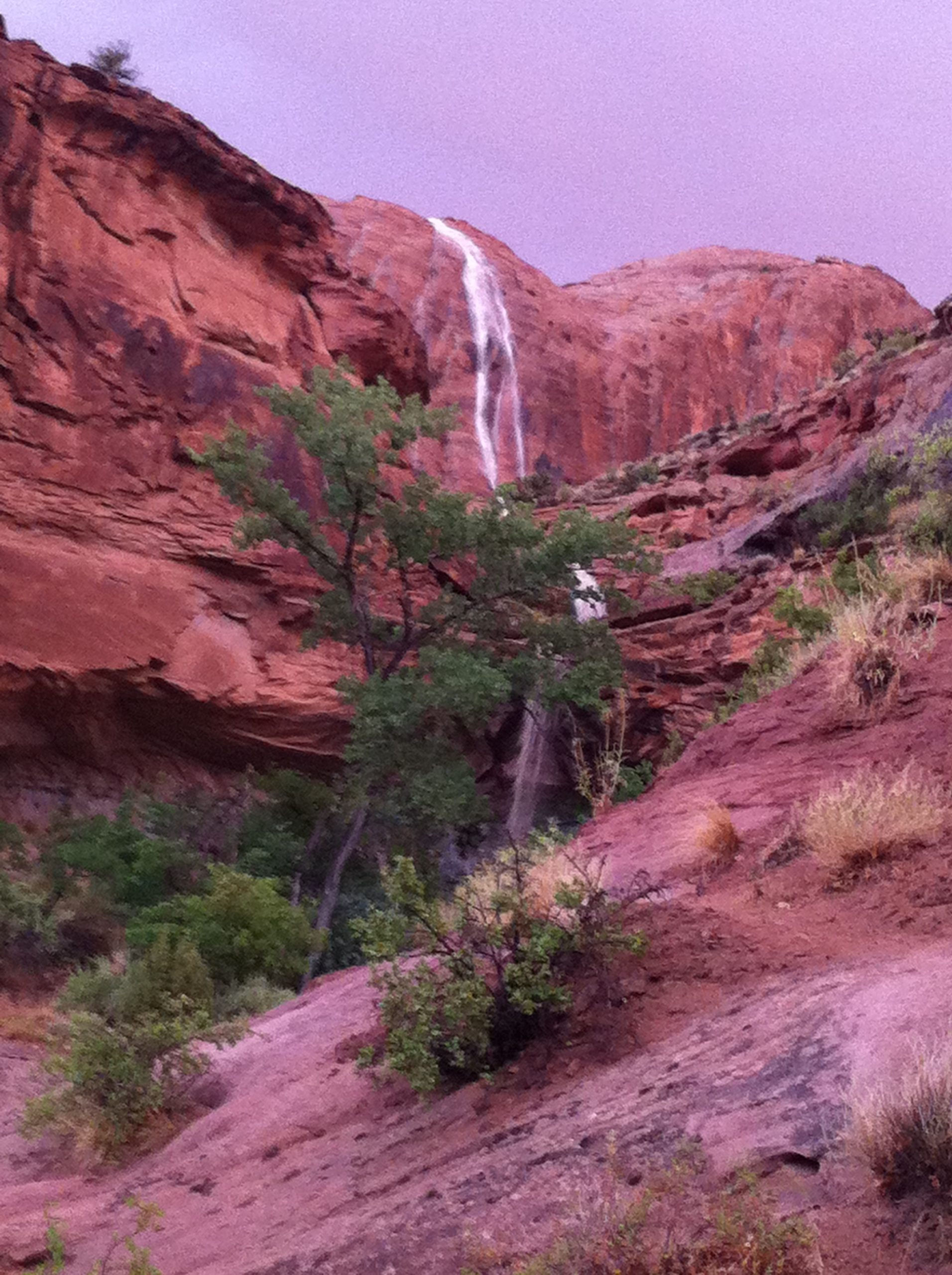
Last week’s thunderstorms sparked flash floods, turning the Colorado River bright red and churning with debris.
Chris Wilkowske, a hydrologist with the United States Geological Survey (USGS), said the river rose on July 19. The USGS river gauge near Dewey Bridge showed a jump from 3140 cubic feet per second (cfs) shortly after midnight on July 19 to 5110 cfs by 3:15 p.m.
“A lot of that came from the Dolores River,” Wilkowske said.
The Dolores River itself jumped from 100 to 700 cfs that day.
He estimated that a third of the Colorado River’s increase came from the Dolores, the rest was from Colorado drainages upstream.
However, it was on July 17 that Onion Creek, a drainage in the Richardson Amphitheater / Professor Valley area northeast of Moab, flooded over the State Route 128. Utah Department of Transportation crews had to clear mud from the road.
Kama Brewer was on State Route 128 the morning after the flood. She said they had one lane open for her to drive by.
“I heard the state road crews worked most of the early morning hours to get it that way,” Brewer said.
But due to no water gauges in the area, it is unknown exactly how much water it pushed downstream and into the river.
“I know there was a big flood and debris flow,” Wilkowske said. “I have no idea how much water was there.”
Don Oblak, owner of Canyon Voyages, sees the rise in the river as a “godsend.”
Due to drought, the river was at a near record low in 2012.
“For March the Colorado River was 55 percent of the 30-year median,” Wilkowske said. “Close to half its normal volume.”
However, with the recent flooding, the water nearly doubled.
“It’s wonderful. It will help carry us through. We’re so excited that it brought the water back up,” Oblak said. “We’re excited to have some more monsoonal weather to help keep the river up.”
Oblak said that the water is better this year than last.
“It’s so nice to be out there. This year is a good boating year,” Oblak said. “We’re looking forward continuing through the boating season. When the weather is so hot, there’s no better place to be.”
There was flash flooding in Mill Creek, too.
On Tuesday, July 16 stream flow was at a lazy 1.2 cfs.
However, Thursday night’s measurements paint a dramatic picture. At 8:30 p.m. the gauge at the Sheley diversion above Ken’s Lake measured at 3.6 cfs. Fifteen minutes later it was at 6.6 cfs. It doubled within another 15 minutes to run at 15 cfs. But by 9:15 p.m. The water was raging at 72 cfs.
Mark Sovine, director of the Grand Water and Sewer Service District, said the extra water from the Tuesday’s thunderstorm was a blessing.
“Without this storm, we were toast,” he said.
Irrigation allotments for farmers in Spanish Valley have been cut to 40 percent. That’s because Ken’s Lake is 30 percent of normal due to a dry 2012.
“These are storms we didn’t have last year,” Sovine said.
The water district can divert water from Mill Creek to Ken’s Lake only if it is running above 3 cfs.
“We didn’t get all of it, but we got a good chunk of it,” Sovine said. “And we’re getting more water because of it.”
However, the big water for southeastern Utah was far south, near Bluff on the Utah / Arizona stateline.
“There was also great big peak on the San Juan from the rain,” Wilkowske said.
It had been running at 700 cfs, but jumped to 15,100 cfs on July 15.
“It’s not uncommon to get pretty big peaks during the monsoons on the San Juan,” he said. “The last one was in 2002.”
Oblak said it was scary for boaters on the San Juan. He didn’t hear about any personal injuries, but he did know that some boaters camping on the river lost their kitchens and toilets.
“They didn’t expect a 10 to 12 foot rise on the river,” Oblak said.
Two backcountry roads in the Needles District of Canyonlands National Park are now closed due to flash floods. The Confluence Overlook Road is closed and Salt Creek / Horse Canyon is impassable.
“Even when rated as ‘passable,’ conditions on these roads are challenging. Depending on the season, you can expect ice, up to two feet of water, quicksand, and/or debris in the wash that must be negotiated while staying within the boundary of the wash,” stated the Canyonlands National Park web site.


