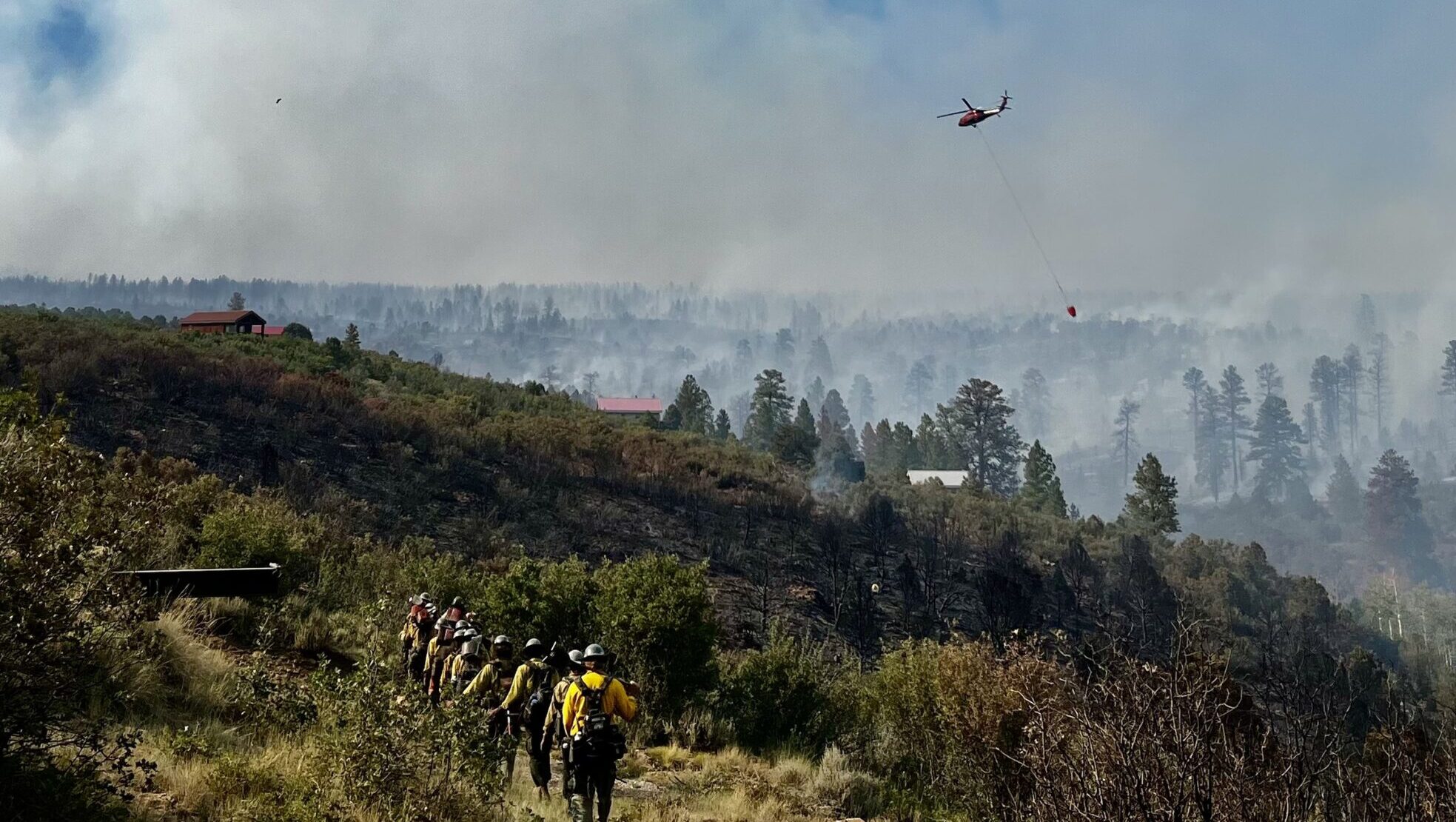
The Deer Creek Fire burning near La Sal in San Juan County has grown to 11,044 acres, with fire officials warning that conditions are likely to worsen the blaze in coming days.
The five-day-old fire achieved 7% containment and crossed into Colorado Monday evening, with firefighters establishing a foothold of control near Old La Sal.
“Fire activity is anticipated to increase with the forecast weather,” an official update from this morning warned, noting that winds gusting up to 50 miles per hour are expected, along with potential lightning. Helpful rain isn’t forecast until Friday.
Officials warn erratic winds may increase fire activity to the north, east, and west.
Deer Creek Fire road closures
“Anyone traveling along the Highway 46/90 corridor near the Utah-Colorado border should check current road conditions,” fire officials stated.
Highway 46 remains closed to public traffic as firefighting equipment uses the route.
Montrose County in Colorado has closed the Rimrocker Trail at Q13 & Good Road, and U5 at the turn to Buckeye Reservoir.
Colorado 141 is closed in both directions at Mile Point 124 (63 miles north of Naturita), according to the Colorado Department of Transportation.
New evacuation zone system announced for La Sal residents
San Juan County officials announced a new evacuation zone system Tuesday, dividing the impacted area into nine distinct zones to improve safety and enable targeted reentry for property owners where conditions allow.
Physical maps of the new zones are available at the La Sal Post Office, the Fire Station in Old La Sal, and on San Juan County’s Facebook pages. Officials urged residents to familiarize themselves with the zones.
“This change is being made to improve safety and allow for a more targeted reentry process — permitting property owners to return where it is safe, while keeping areas with ongoing risk closed,” county officials stated.
Join 1,000+ locals staying informed during wildfire season.
Fire crosses state line into Colorado
The wildfire crossed into Colorado Monday evening, moving approximately one mile north of State Highway 90 in Montrose County. Fire officials said the blaze “spread modestly across the landscape and slightly east, crossing into Colorado approximately one mile north of highway 46 in Utah, transitioning to highway 90 in Colorado.”
The fire spans multiple jurisdictions: 10,563 acres on Manti La Sal National Forest, 1,491 acres on private land, 536 acres on state land, 314 acres on Utah Bureau of Land Management property, and 2 acres on Colorado BLM land.
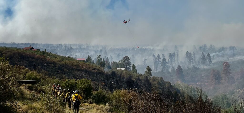
Great Basin Complex Incident Management Team #4 manages 385 personnel, including five helicopters, 21 engines, six crews, and four dozers.
What firefighters are doing now
Ground crews constructed dozer lines along the north perimeter between two fire fingers and continued assessments moving toward Canopy Springs and Dark Canyon. Crews maintained structure protection around Peaceful Valley Ranch using sprinkler systems and aviation retardant drops.
Crews physically mapped the fire perimeter in the Hangdog area Monday, discovering additional acreage that had burned and cooled before initial thermal mapping could capture it. No additional structural damage occurred Monday. The fire has destroyed five homes since it began.
How Moab residents can help
The Moab Valley Fire Department announced donation options for community members wanting to support firefighters.
Financial contributions can be made at Desert Rivers Credit Union under “Moab Valley Fire Donation Account” or at Station 1 (45 South 100 East).
Non-perishable donations including electrolyte drinks, hygiene items, and snacks are accepted at Station 1.
For residents wanting to help displaced families, San Juan County is currently recommending donations to the Red Cross.
Evacuees from the La Sal area can find emergency shelter and information at the La Sal Community Center on Highway 46.
Fire information and emergency resources
- Fire hotline: 385-393-0516
- Email updates: 2025.DeerCreek@firenet.gov
- Official incident page
- Utah Fire Info
- San Juan County alerts
- Forest closures
Information in this article is current as of Tuesday afternoon, July 15, 2025, and includes the official evening update from Great Basin Incident Management Team #4. Fire conditions change rapidly. Residents should monitor official sources for the most current wildfire updates.
Appreciate the coverage? Help keep local news alive.
Chip in to support the Moab Sun News.