Some information may be outdated.
Perhaps you have heard how urgent it is for the upper basin states to take water from the Colorado River before those “Californians use it all up?” This us-versus-them attitude, as a justification to take more water from a finite system, will obviously not solve the regional water predicament. Later on, I will explain that scientists from California demonstrated early leadership to create equitable water solutions for everybody.
California’s surface and groundwater allotment from the Colorado River Basin is limited to 4.4 million acre-feet per year and 70 percent of this water is used to grow food and fiber in the Imperial and Coachella Irrigation Districts, which is largely exported. However, it might surprise you to know that the state of Arizona uses as much surface water from the Colorado River system, and if you include the water that Arizona consumes from the water supply underneath the Colorado River Basin, then it exceeds California’s consumption by about 3.5 million acre-feet per year.
Here is the inventory of Arizona’s surface water: The estimated natural flow of the Gila River through Arizona is about 1.8 million acre-feet. The state of New Mexico will use a portion of this surface water, but Arizona consumes the lion’s share and the river bed is dry long before it ever reaches the Colorado River. This includes the flow of the Little Colorado River in Arizona, which is 138,000 acre-feet. Again, New Mexico will use a portion of this water supply and Arizona dominates the rest.
Because the division between the upper basin states and the lower basin states of the Colorado River occurs in Arizona at Lee’s Ferry (15 river miles below Glen Canyon Dam), Arizona has two allocations under the Colorado River Compact of 1922. Arizona’s upper basin allocation is limited to 50,000 acre-feet. The city of Page and the nearby Navajo Generating Station are the consumers of this entitlement. Between Hoover Dam and the Mexican border, Arizona will divert 2.8 million acre-feet directly from the Colorado River for its lower basin apportionment. Like California, about 70 percent of Arizona’s water consumption is dedicated to exporting food and fiber.
The consumptive use of surface water in the Colorado River Basin is currently over-extended and we know this because we can see the “bathtub ring” with our own eyes when we visit Lake Powell, and especially Lake Mead. This visual realization is not necessarily the case for our groundwater reservoirs, that is, until we begin to notice subsidence fissures on the Earth’s surface caused by the mining of groundwater. In Utah, dramatic subsidence is happening in Iron County near Cedar City.
As of 2003, 52 percent of the water consumed by the states of the Southwest region was extracted from groundwater aquifers. New Mexico extracts 90 percent of its water from aquifers; Arizona is 60 percent; Wyoming is 57 percent; Utah is 56 percent; California is 45 percent; Nevada is 32 percent; and Colorado is 22 percent. Subsidence is occurring in 45 of the 50 United States and 80 percent of this subsidence is directly caused by groundwater depletion by humans. It is called groundwater mining because humans are extracting water from aquifers faster than Nature can replenish them.
Water shortages were officially predicted to occur in the Colorado River Basin as early as 1946. This message was delivered at a convention of the Colorado River Water Users Association in Salt Lake City by hydrologists from the state of California. Essentially the message was: The water supply of the Colorado River was significantly over-estimated by the commissioners of the 1922 Colorado River Compact. Consequently, the suggestion from California to the other six states was to find a mutual way to balance the supply with the demand. To this day, modifying the 1922 Colorado River Compact to share this finite resource equitably has yet to occur and water grabbing continues to dominate our political culture.
In 1957, scientists from California at the Scripps Institute demonstrated that the ocean could not absorb atmospheric carbon dioxide fast enough to avoid a planetary greenhouse effect. Twenty-three years later, the scientists at Scripps suggested to water managers that they modify their water delivery infrastructure to compensate for the imbalance ahead. They also said it was best to to get started immediately, because it takes more than 30 years to implement effective planning and zoning features.
As we all should know by now, heeding these two suggestions from Californian hydrologists to restore system balance never materialized. Collectively, the entire basin had its chance to act, but never accepted the challenge. Seventy years of time has elapsed since the first warning, which is twice the time necessary to cross over to safety. Will the water managers fail to act a third time? Yes, because a finished 30-year comprehensive strategic plan is nowhere to be found in the public record.
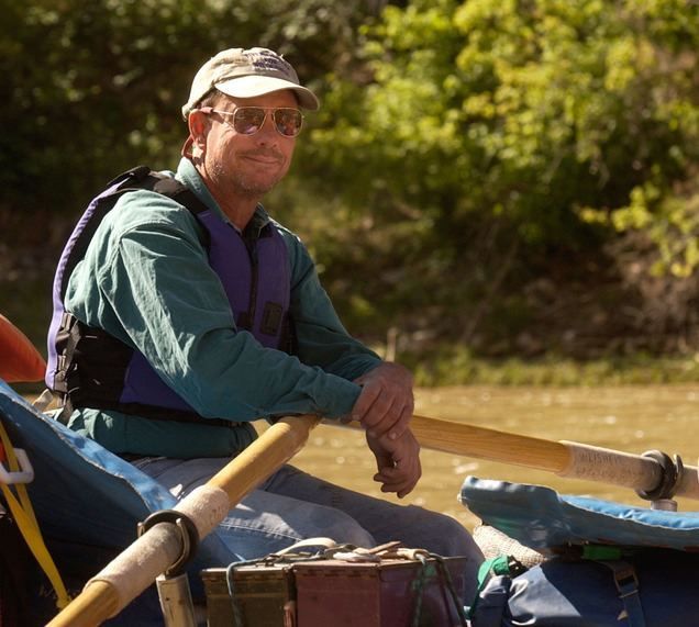
John Weisheit lives in Moab and is the official Colorado Riverkeeper.
Appreciate the coverage? Help keep local news alive.
Chip in to support the Moab Sun News.


