Some information may be outdated.
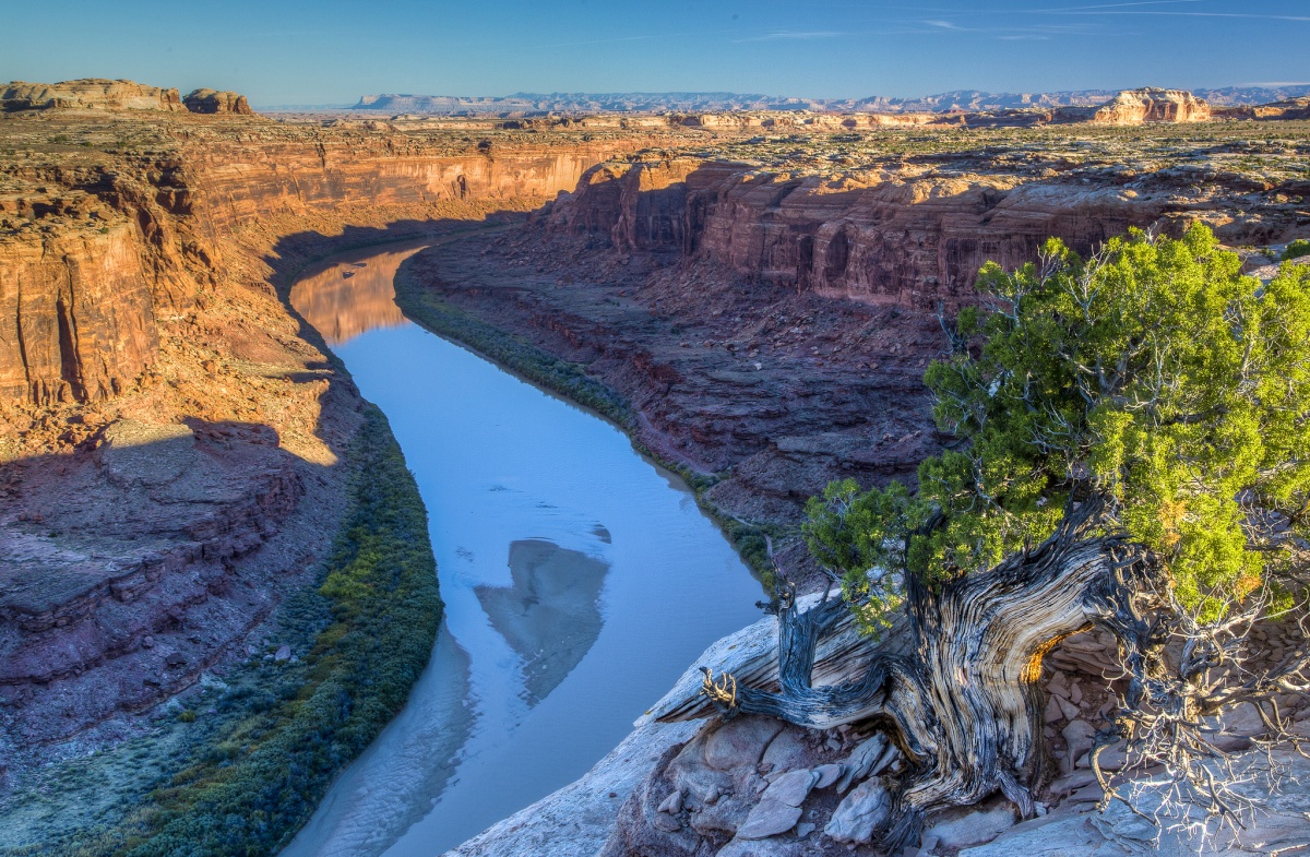
Last week, the Bureau of Land Management released a new travel management plan that outlines the future of roads in the Labyrinth Rims/Gemini Bridges area. 800 miles of routes will remain open across the 300,000-acre landscape, while 300 miles of roads along the scenic Labyrinth Canyon will close.
The new plan is an update to the 2008 plans, which designated nearly 1,200 miles of ORV (off-road recreational vehicle) routes in the area. The update was spurred by the outcome of a 2017 court settlement with the Southern Utah Wilderness Alliance, which determined that the BLM must review 13 total travel management plans for areas in Utah.
Laura Peterson, staff attorney at SUWA, described the 2017 lawsuit as necessary to uphold the BLM’s legal responsibility to preserve places for the protection of a variety of resources and values including wildlife, solitude, and non-motorized recreation.
Last year, the agency produced a draft management plan for the Labyrinth Rims/Gemini Bridges area with four possible approaches: Alternative A, which would take no action and close no routes, Alternative B, which emphasized natural resources (and would close the most routes), Alternative C, a compromise between natural resources and recreation access, and Alternative D, which would emphasize access (and close, of B and C, the least amount of routes).
The public comment period lasted from September 7 to October 7 last year. The BLM received over 10,000 comments during that period, according to a press release; many of those comments were “incorporated into the plan,” according to the BLM’s Canyon Country District Manager Nicollee Gaddis-Wyatt.
This plan, which the BLM described as a combination of Alternatives B, C, and D, will close 317 miles of roads—28% of the previous total. 200,000 ORVs are currently registered with the state of Utah, and they are still able to recreate on the thousands of off-road miles in the Moab area. Within the BLM’s Moab Field Office, 96% of routes used during the annual Easter Jeep Safari—a popular ORV gathering event—will remain open.
However, the plan is not fully set in stone: there will be a protest and appeal period. The BlueRibbon Coalition has already stated it will challenge the plan.
Grand County Commissioner Jacque Hadler praised the final plan—last year, the commission voted to support Alternative B.
“Throughout the planning process we asked the BLM for a balanced plan which provides ample opportunities for both motorized and non-motorized recreation, while protecting riparian areas and other wildlife habitat,” Hadler said. “As visitation to the Moab area increases, finding this balance becomes increasingly difficult. The new travel plan does a strong job of finding this balance. I appreciate the careful, thoughtful work that went into it.”
John Weisheit, the conservation director for Living Rivers, was also quoted as praising the plan in a press release from SUWA.
“I applaud BLM for today’s decision which protects the rim country of the Green River and Labyrinth Canyon from the damaging impacts of off-road vehicles,” he said, referencing the sensitive ecosystem. He cited the benefits of reducing OHV travel in these areas, as it provides habitat for migrating birds and minimizes evaporation along the river, along with storing water for riparian plants, supporting the food web and native species.
Appreciate the coverage? Help keep local news alive.
Chip in to support the Moab Sun News.


