Some information may be outdated.
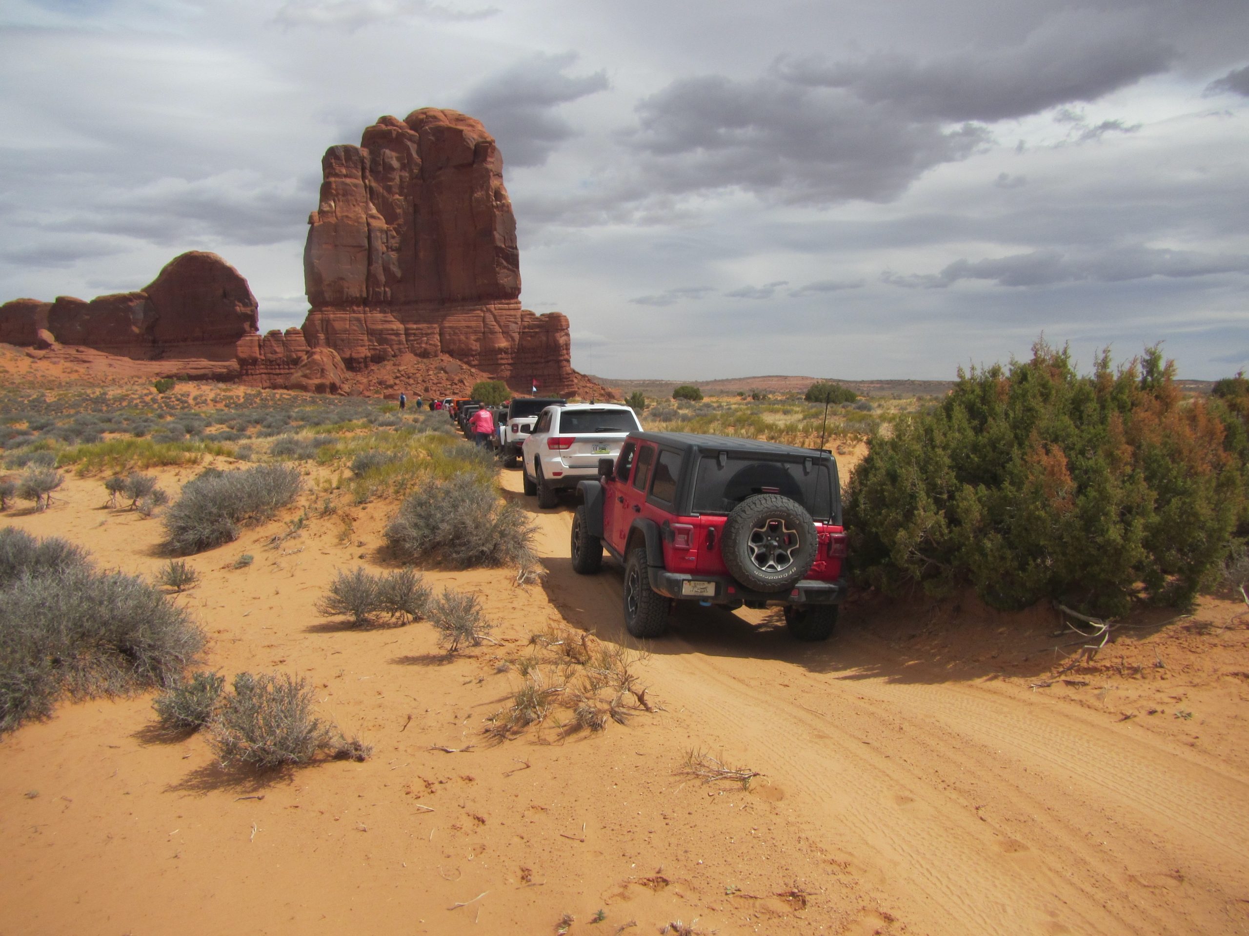
The Labyrinth Canyon/Gemini Bridges Bureau of Land Management planning area is proving another flashpoint between conflicting perspectives on public land management in Grand County. Some community members and visitors want to see all of the area’s over 1,000 miles of four-wheel drive trails kept open; others want to impose closures to make space for more quiet areas for nonmotorized recreation and undisturbed wildlife habitat; protect archaeological sites; and restore riparian areas.
“Once these roads are closed, people who are unable to hike long distances will never again be able to visit areas like Deadman Point, Hell Roaring Canyon, or Seven Mile Canyon,” said Patrick McKay, vice president of the advocacy group the Colorado Offroad Trail Defenders, at the Oct. 4 Grand County Commission meeting.
The meeting’s agenda included approving a letter from the commission to the BLM offering support for a proposed management alternative which could close over 400 miles of roads in the planning area.

Road networks in the planning area—which comprises roughly 304,000 acres north and west of Moab (bounded by the Green River on the west, reaching Interstate 70 at its northernmost point, and with some sections crossing Highway 191 on the east)—were last examined when the local BLM field office updated its resource management plan in 2008. About 40% of the 4WD routes inventoried at that time were closed, leaving the 1,128 miles officially open today.
The BLM is obligated to conduct the complex process of creating a travel management plan for the area as part of the 2017 outcome of a lawsuit filed by the Southern Utah Wilderness Alliance. After over a year of collecting data, talking with experts and the public, and weighing the values at stake, the agency has produced a draft plan with four possible approaches, labeled A through D, each with a different balance of conservation and use (drafting alternatives like these is standard procedure in BLM planning).
Grand County is a cooperating agency with the BLM, meaning it had the opportunity to help develop the alternatives and offer comments ahead of the open public comment period, which was Sept. 7 through Oct. 7. While the BLM takes the county’s comments into account, the commission is only one voice among many. As of Oct. 5, the BLM had received close to 5,600 comments on the draft travel plan through its eplanning website. The final decision on the plan is up to the federal agency, not the county. Still, the commission agenda item drew many comments from the public.
“More than 80% of this travel management area is within half a mile of a route—so I think the argument that we’re closing off access is inaccurate,” said Grand County resident Sam Van Wetter, an organizer with the advocacy group the Rural Utah Project, who has been working with a consortium of river guides who use Labyrinth Canyon.
A federal bill passed in 2019—the John D. Dingell, Jr. Conservation, Management and Recreation Act—assigned land designations to many areas of Southeast Utah, including a Wild and Scenic River designation for the stretch of the Green River that flows through Labyrinth Canyon, and a Wilderness designation for the roughly 55,000-acre area on the west side of the canyon. Some pointed to these designations as a reason to reduce motorized use in the adjacent Labyrinth Canyon/Gemini Bridges area, to keep it in character with surrounding lands; others have used the same circumstance to argue in favor of wide motorized access to the planning area, because there are so many surrounding areas closed to offroad motorized activity.
Clif Koontz, chair of the Grand County Motorized Trails Advisory Committee, submitted the committee’s recommendations, advising the commission to support Alternative A, which would take no action (closing no motorized routes). As a compromise, Koontz wrote, the committee would also support Alternative D, which proposes to close 53 miles of trail, leaving 974 miles open and 101 miles open to limited OHV use. “OHV-limited” routes may restrict the size or type of vehicle permitted on a trail (for example, a motorcycle-only route).
“Alternative B would gut the quality of routes even more than the quantity,” Koontz wrote, noting that for 45 river miles, even views of Labyrinth Canyon would be cut off from access by vehicle.
The last option included in the draft plan, Alternative C, proposes to close 168 miles of 4WD trails, leaving 839 unrestricted miles open and 121 miles open to limited OHV use. The BLM draft plan characterizes this option as the most balanced alternative.
The commission voted unanimously to approve the letter supporting Alternative B. Some commissioners did, however, express reservations.
“I do have some heartburn about limiting recreation,” said Commission Chair Jacques Hadler.
“I don’t love option B,” Commissioner Evan Clapper agreed, saying he hopes the BLM will continue to modify the current Alternative B and eventually create more recreation opportunities. The draft alternatives aren’t set in stone; approaches to specific routes within each broad alternative can still be changed even after the BLM selects an alternative.
Longtime Grand County resident Celia Alario applauded the county’s support for Alternative B, which closes the most miles of road out of all four alternatives. She described visiting the Labyrinth Canyon/Gemini Bridges area over a decade ago, when there were fewer visitors coming to Moab.
“People who went out there were mostly going for canyoneering and other quiet uses,” said Alario. “People who rode out in that area rode responsibly, they rode lines and trails that were already there. They weren’t interested in carving bigger roads. They weren’t interested in all-hours-of-the-night driving, loud engine revving with big lights and loud music.”
Commissioner Kevin Walker pointed to increasing visitation as a reason for increased tension between user groups, particularly motorized vs. nonmotorized users, and thus a reason for more targeted management.
“Public lands issues are very contentious in Grand County because there’s so many of us trying to enjoy public lands in various ways that are not always compatible in exactly the same place,” Walker said. “But the good news is that there is something we can all agree on, and that’s that we should have a balanced plan. The difficulty is we don’t agree on what constitutes a balanced plan.”
Commissioners Trisha Hedin and Mary McGann highlighted the importance of bighorn sheep habitat in the planning area, pointing to dwindled populations and the impact of noise and human use on the animals’ health and range.
“They’re just on the edge,” Hedin said of wildlife in the area. “Any kind of assistance we can give them—I think we need to give them that assistance… I’m a hunter and I drive a vehicle to get there, and I recognize that—but we need to give refuge for…wildlife.”
In addition to agreeing with Hedin’s point about wildlife, McGann echoed Walker’s point about the change in visitation creating a need for more active management.
“We’d go out and camp and stay four days and not see another person,” McGann remembered about growing up in Grand County. “It’s a different time… for balance in recreation, we need to have more areas that are further from roads.”
The public comment period on the draft plan closes on Oct. 7 at midnight; up until that time, comments may be submitted at https://eplanning.blm.gov/eplanning-ui/project/2001224/510.
Appreciate the coverage? Help keep local news alive.
Chip in to support the Moab Sun News.


