Some information may be outdated.
The Pack Creek Fire was 100% contained on Friday, July 2, and on July 5, the fire was downgraded from a “Type 3” incident to the less complex “Type 4” classification. Though crews have successfully built a secure fire containment line around the entire outer perimeter of the fire, there are still unburned trees and other fuels within that boundary, and they are likely to continue to burn, officials say, potentially throughout the summer. Experts are assessing the burned areas to identify possible further hazards, such as erosion and flooding; so far, they have determined that only 2% of the soil within the fire area was burned at a high severity.
The final fire acreage remains at 8,952 acres, the size it’s been since June 22. The burned area includes the Pack Creek drainage on the south end and a winding swath up the mountain slopes to Geyser Pass on the northeast end, where it burned beneath Haystack Mountain to the north and Mount Mellenthin to the south. Firefighters continue to monitor the fire, checking the perimeter for hot spots, addressing hazards such as snags, removing fire fighting equipment like hoses and pumps, and beginning rehabilitation work, which may include covering trails or currently unused firelines made by firefighters or equipment. Only 36 people are now assigned to the fire, down from a peak of over 500, and the remaining staff are now under the leadership of Kathryn Sebes, a Type 4 Incident Commander from the Fish and Wildlife Service.
In a July 6 update from the Forest Service, officials said that current fire activity is minimal, but that smoke will likely be visible throughout the summer.
“Spot fires will likely cause isolated smoke columns and continue to burn in the areas closed to public access,” said a July 6 press release from the Forest Service. “These small fires have a low likelihood of spreading and will help clean out light fuels from the forest understory.”
Closures
All evacuation orders for private properties near the fire have been lifted, including the Blue Lake and Dark Canyon areas. The La Sal Loop Road has been open since June 25, and dispersed camping west of that road is allowed. La Sal Pass, which gives access to Medicine Lake and the Tuk Trail on the south side of Mt. Tukuhnikivatz, is open to camping. The Temporary Flight Restriction that was in place over the fire has also now been lifted. Officials are asking the public, other than property owners and those they invite, to refrain from visiting the Pack Creek subdivision.
“Please respect private property and the privacy of area residents,” reads the July 6 press release. “The residents of Pack Creek continue to recover from the impacts of the fire.”
The Geyser Pass Road remains closed from the Trans La Sal Trailhead to Geyser Pass, as do the Oowah Lake Road and campground. Popular hiking and biking trails including the upper section of the Whole Enchilada, Moonlight Meadows, Gold Basin Trail and Clark Lake trails are also closed.
Rehabilitation
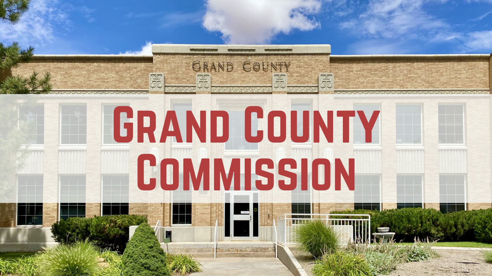
Forest officials met with members of the Grand County Commission and representatives from San Juan County to discuss preliminary findings of the Burned Area Emergency Response (BAER) team, a group of experts who assess damage from wildfires. The group took soil samples and used satellite imagery to create a “soil burn severity map,” which they shared with commissioners. Commissioner Sarah Stock said the report seemed like good news.
“Aside from the loss of property in Pack Creek and people’s homes, it looks like the fire didn’t have as negative of consequences as many feared. The soils report was really good,” said Stock at the July 6 commission meeting.
Stock also attended a field trip to Huntington, Utah, to tour rehabilitation projects in Huntington Canyon that are in place to stabilize areas damaged by two wildfires in recent years. She described a partnership of various Emery County individuals and organizations that has helped to secure funding and materials like riprap, which is used to prevent erosion. Stock said she looks forward to working with San Juan County on rehabilitation efforts in the La Sals, which, she noted, will probably be less extensive than the projects she observed in Huntington Canyon. The newly hired Grand County Emergency Manager, Jenny Swenson, will likely take a lead role in the county’s process.
Mack McDonald, chief administrator for San Juan County, called in to the Grand County Commission meeting to discuss collaboration between the counties on rehabilitation efforts in the Pack Creek Fire area. He emphasized that San Juan County is primarily focused on the damaged structures in Pack Creek: ensuring structural stability, providing for safety, and removing debris.
“The watershed and everything above that is kind of secondary for us right now,” McDonald said. He also noted concerns about how changes in waterflow would affect infrastructure in and around the Pack Creek area. According to early models determined by an engineering firm working with San Juan County, flows in the creek beds could increase by as much as 5-8% during rain events, a volume that could damage or overwhelm private bridges in the Pack Creek subdivision and begin undercutting the road alongside the Pack Creek drainage.
The July 6 press release also mentioned possible increased water flows:
“Areas located downstream from moderate and high soil burn severity may experience increased rates of erosion, debris flows, and surface run-off following short-duration, high-intensity rainfall events,” it says.
The BAER team continues to study the Pack Creek Fire area to develop recommendations for emergency stabilization projects.
Appreciate the coverage? Help keep local news alive.
Chip in to support the Moab Sun News.


