Some information may be outdated.
The final results of a water study initiated in 2014 show less water in the Moab area than previous studies indicated.
The U.S. Geologic Survey (USGS) announced in a press release on Aug. 16 that their new assessment of groundwater resources in the Spanish Valley watershed shows an amount that is about 30 to 40% lower than previously reported.
“Future growth in the Moab, Utah, area is dependent on adequate water resources,” the USGS press release stated. “With surface waters fully appropriated, water needs to support future development must be met with groundwater resources.”
The USGS said the last assessment to determine how much groundwater is available in the Spanish Valley area was completed in the 1970s.
“These findings will be useful to local and state water managers in evaluating how much additional development can be sustained in the Moab area with the groundwater available,” lead author and USGS scientist Melissa Masbruch said. “This information can also help decision-makers make informed choices as they develop a future groundwater management plan.”
Grand County Community and Economic Development Director Zacharia Levine said he is not surprised by the study’s findings.
“The nature of academic and scientific research is such that we continually create new and refined knowledge about the state of our world,” Levine said. “In this case, the study’s authors used new data collection and hydrologic modeling techniques to update the estimates provided by Sumsion in the early 1970s.”
Levine also said water is “one of many limits to growth,” and that if the area’s stakeholders and decision-makers accept the most recent USGS estimates, “it seems reasonable to expect that the updated figures will factor into future land use decisions.”
“I am not saying residents can or should expect new development to grind to a halt; that’s not a realistic expectation,” Levine said. “However, it may lead to new regulations about water use and reuse, new perspectives on the (Moab) Valley’s build-out potential, water rights agreements, and groundwater management policies.”
Levine also added that, while climate change was not an explicit focus of the USGS study, he believes many climate scientists and hydrologists would support considering “the additional uncertainties and vulnerabilities that stem from projections of climate change and extended periods of drought.”
The USGS said the total amount of groundwater entering and leaving the aquifer system within the Spanish Valley watershed is estimated to be 13,000 to 15,000 acre-feet per year.
This estimate is based on the amount of groundwater flowing out of the aquifer, which provides a more robust assessment of how much water is in an aquifer system than recharge measurements, according to the USGS. This current estimate is about 30–40% lower than the 1971 estimate of 22,000 acre-feet per year.
The USGS also said the Spanish Valley watershed includes the valley-fill and Glen Canyon Group aquifers. Results show that there is no significant groundwater inflow from the Glen Canyon Group aquifer to the valley-fill aquifer. Rather, inflow to the valley-fill aquifer was found to come from the Pack Creek watershed.
This is in contrast to findings from the 1971 assessment’s assumption that 14,000 acre-feet per year of groundwater enters the valley-fill aquifer from the Glen Canyon Group aquifer. Findings also show a groundwater outflow of 300 to 1,000 acre-feet per year from the watershed to the Colorado River. This amount is much lower than the 1971 estimate of 11,000 acre-feet per year.
For this study, scientists collected water-quality, water-level and flow data from wells, springs and streams in the Spanish Valley watershed from 2014 to 2016. Water-quality and water-level data were used to determine the sources of groundwater recharge and flow throughout the aquifers. Flow measurements helped to assess groundwater discharge to streams and springs and were used to determine inflow and outflow to the aquifers.
Living Rivers is a nonprofit dedicated to the preservation, protection, and restoration of rivers and watersheds in the Colorado Plateau, and one of the water study’s cooperating agencies.
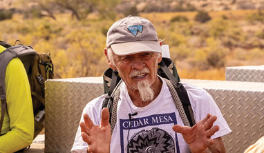
“We needed this information,” Living Rivers Conservation Director John Weisheit said. “Obviously, our past planning doesn’t match the number that we now have going forward…We have to revise all our planning and zoning, not only for Grand County but San Juan County.”
Weisheit recommended that planning not include the assumption that all available water resources will be used.
“We need a buffer,” he said, adding that planning ought to take into account what water supplies might be in the coming years, including decades out.
“Our planning needs to be flexible with nature. We need to work with nature in the future and be prepared for continued variables in our hydrology, so our communities are not harmed,” Weisheit said.
Weisheit also rejected the notion of drawing water from the Colorado River or Green River.
“The Colorado River is in decline; its safe yield has already been over-appropriated,” he said. “If you think that’s a reliable water source in the future, you are terribly wrong and you will waste lots of money to develop a water resource that doesn’t exist.”
The report is titled “Evaluation of Groundwater Resources in the Spanish Valley Watershed, Grand and San Juan Counties, Utah,” and the study was done in cooperation with the Utah Division of Water Rights, City of Moab, Grand and San Juan Counties, Grand Water and Sewer Service Agency, Utah School and Institutional Trust Lands Administration, The Nature Conservancy, Utah Division of Wildlife Resources, Living Rivers, San Juan Spanish Valley Special Service District, U.S. Bureau of Land Management and the U.S. Forest Service.
The full report can be found here.
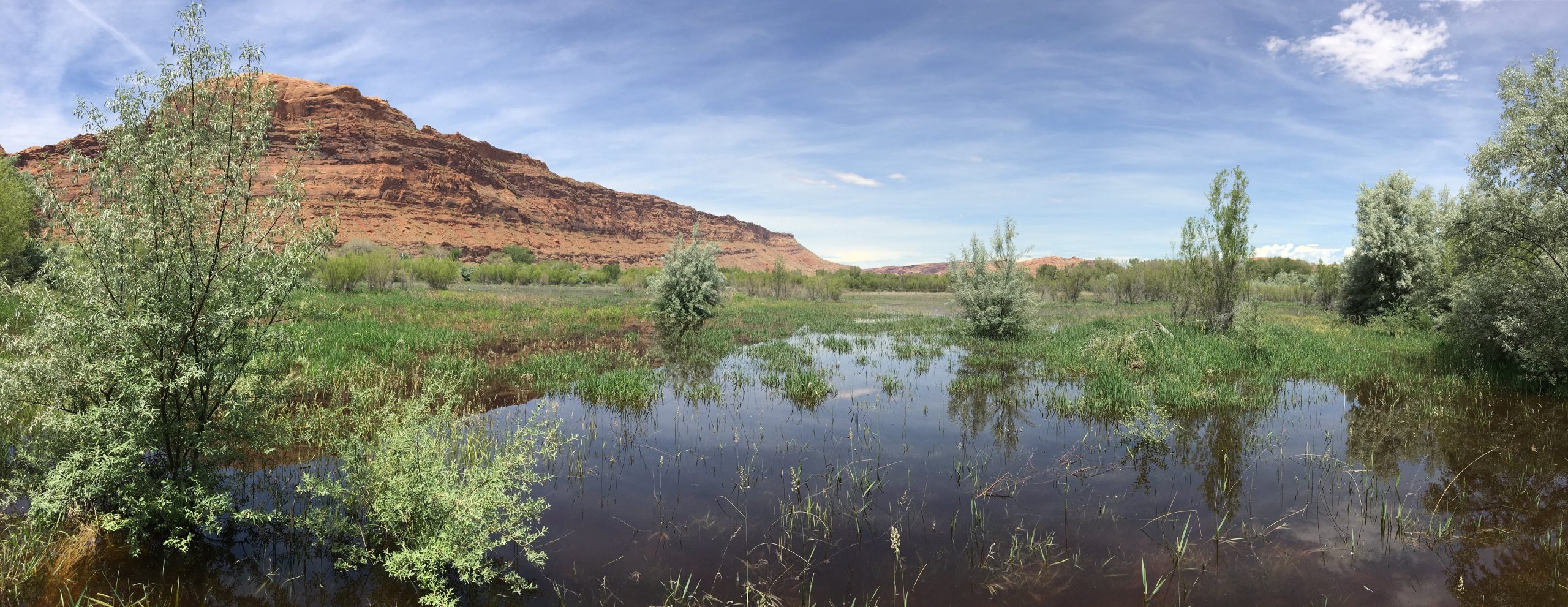
A new assessment of groundwater resources in the Spanish Valley watershed shows an amount that is about 30 to 40 percent lower than previously reported.
Appreciate the coverage? Help keep local news alive.
Chip in to support the Moab Sun News.


