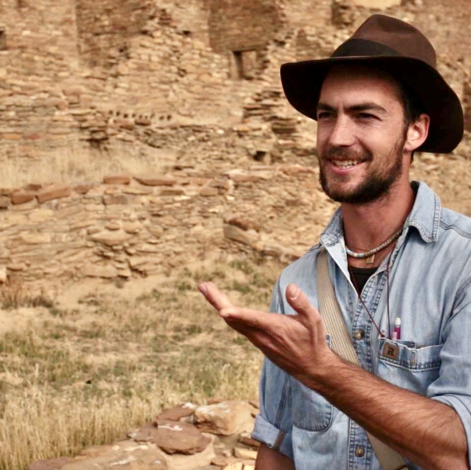
Around a thousand years ago, an astonishing series of straight roads were built all over the Four Corners area, focusing on the Chaco Canyon region. Here, Science Moab talks with archaeologist and anthropologist Rob Weiner, whose research focuses on these monumental roads that the ancestors of the Pueblo and Diné people built. Weiner studies at the University of Colorado Boulder.
Science Moab: How long has Chaco Canyon been inhabited?
Weiner: There have been people living in Chaco Canyon from at least the Archaic period into more recent times, 17-1800s. But the main period that archaeologists usually focus on runs from the 800s til about 1200, when people were building incredible monumental masonry architecture: greathouse buildings of multiple stories aligned to the cosmos and large roads. [Descendent Indigenous communities assert their presence on the Four Corners landscape has been since time immemorial. -Science Moab]
Science Moab: How have these roads been studied and photographed in modern times?
Weiner: Throughout the entire time archaeologists have been studying these roads, seeing them from above has always been the best way to see them. Especially in the early morning or late evening when light is raking across the roads, low-angle sunlight really pops them out with intense shadow enhancement. The BLM used a lot of aerial photographs and also aerial reconnaissance, where they would fly in small planes to see the roads from above.
Science Moab: Is there any sort of pattern to these roads, any sort of symmetry around the Chaco area?
Weiner: I think it’s really important we distinguish between at least two types of roads, one being regional roads. There’s the North Road, which goes 35 miles due north out of Chaco Canyon, the South Road which goes about 40 miles southwest out of Chaco Canyon, and the West Road which goes approximately the same distance towards the Chuska Mountains. At least three of these regional roads connect Chaco Canyon itself to the margins of the San Juan Basin. But most of the roads are actually these very short spoke-like segments at Chaco and outliers, where Chaco architecture was built outside the canyon in local communities. Regional roads, so the North Road, South Road, and West Road, definitely emanate from Chaco, and that’s a south San Juan Basin phenomenon. But smaller roads that start at outliers and radiate out are found across a wide area.
Science Moab: Where do these roads lead to?
Weiner: One of the things we consider with roads is that there are different types of roads that lead to different sorts of destinations likely for different purposes. A strong association is that roads lead to specific places on the landscape: many roads lead to springs or buttes, or point towards prominent mountain peaks. Sometimes roads will lead back to a building that had been de-populated hundreds of years before, so they’ll build a road to a site that’s no longer being used. We do have examples where roads do connect great houses. Another possible destination of roads is actually astronomical bodies, where the sun is going to rise or set on the summer solstice or the winter solstice.
Science Moab: Are these roads all linear?
Weiner: One of the aspects of Chacoan roads that has been really striking to folks is how linear they are. You know, something is a Chacoan road for two reasons. One, it’s extremely wide, they average about nine meters which is 30 feet wide. So when you’re looking at an aerial photo, you know it’s a Chacoan road because it has that incredible width and it has that straight linearity. And in contrast, if you’re looking at a historic road or a wagon trail, it winds around, it comes to a topographic obstacle and it veers around it. Chacoan roads go straight up cliffs. I was on the South Road a couple of weeks ago where the road comes to this little butte, and it goes straight up over the top.
Science Moab: Can you ever find traces of roads on the ground, rather than aerial?
Weiner: Often, nothing. Sometimes you can see a linear depression. Sometimes you will see vegetation change because roads were created by being excavated into the earth, and water would pool in there. And so sometimes you get differential vegetation growth, either different species or different density within the channel of the road. Because the road beds were excavated and the excess piled off to the side, sometimes you can find linear scatters of pebbles with caliche, the calcium deposits that occur naturally on the underside of rocks. When you dig them up and toss them off to the side, sometimes that can leach a coating, which appears on the top because you’ve dug it from underground and tossed it. So sometimes you find these lines of caliche-up rocks about 30 feet apart in linear lines, and that’s an example of an excavated roadway that has since filled in. One of the most intriguing signs of a road on the ground are linear trails of pottery pieces. What’s really fascinating is these pieces don’t fit back together. They’re from different vessels.
Science Moab is a nonprofit dedicated to engaging community members and visitors with the science happening in Southeast Utah and the Colorado Plateau. To learn more and listen to the rest of this interview, visit www.sciencemoab.org/radio.